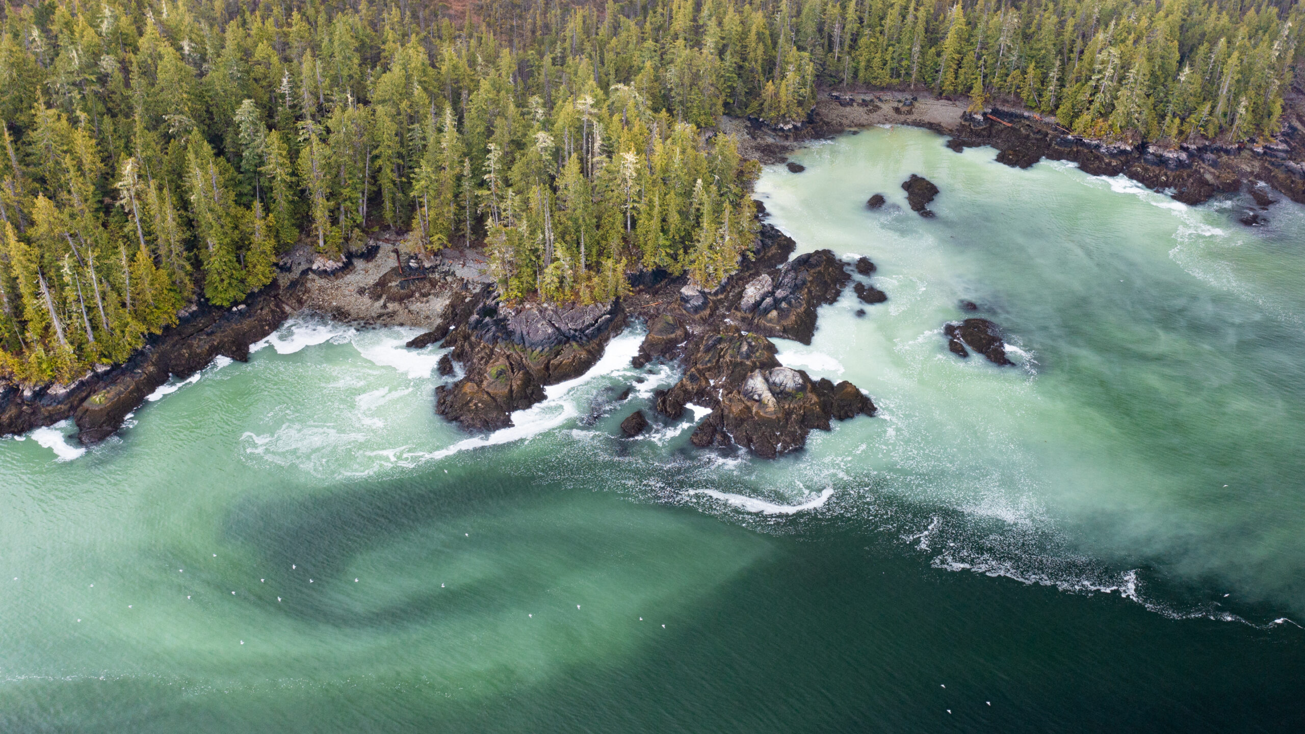

The Great Bear Sea, off the coast of British Columbia (BC), is one of our planet’s most productive cold water marine environments and has tremendous cultural significance to the people who live here. The people along this coast rely on these waters for their food, livelihoods, recreation and wellbeing.
Many First Nations, the Government of Canada, and the Province of BC are working together to develop a network of marine protected areas (MPA) in this region. These partners are now seeking public input on a draft plan for the MPA network. Creating this MPA network will ensure that future generations can benefit from the beauty and productivity of the Great Bear Sea.
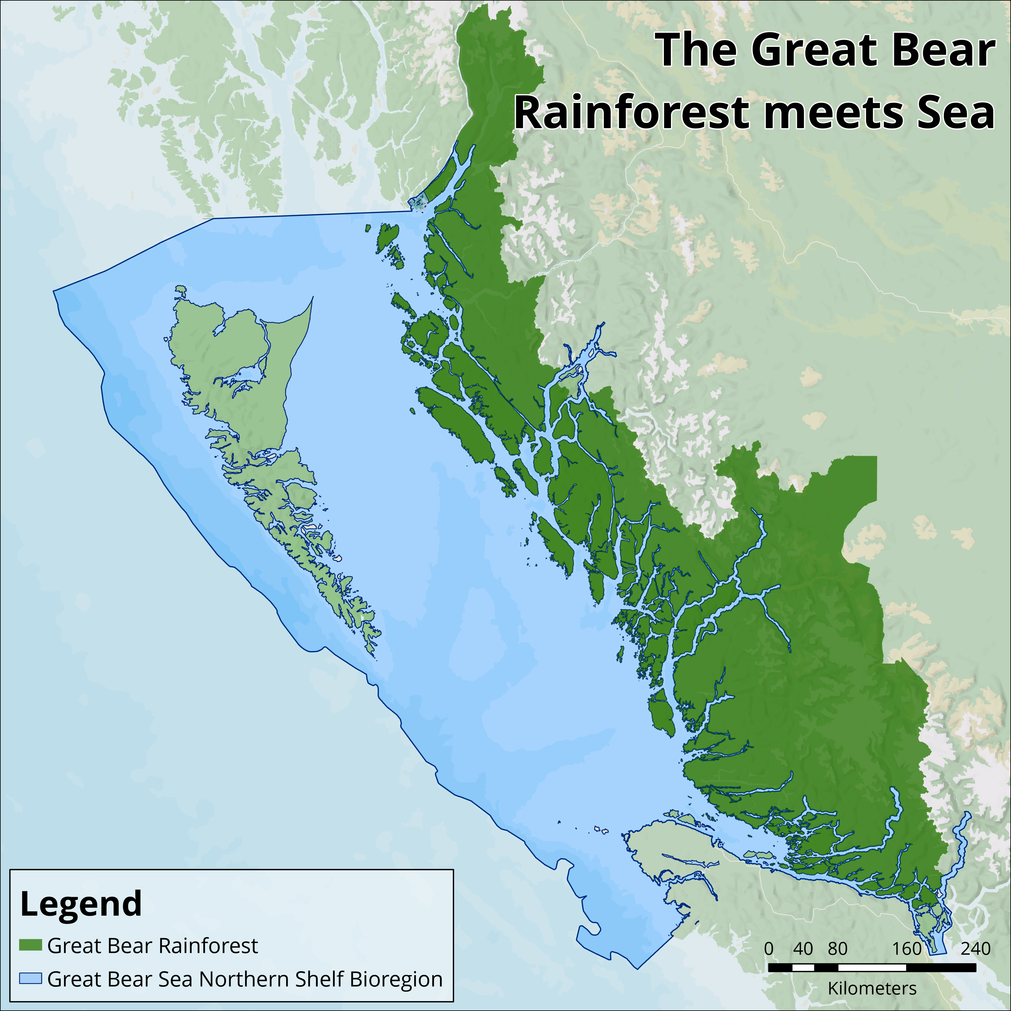
The Great Bear Rainforest spans the central and northern coast of BC. These lands are home to a myriad of wildlife, just like the waters that surround them are home to diverse marine ecosystems. The name “Great Bear Sea” is a longstanding term used to describe this part of our ocean. Without an official name, the “Great Bear Sea” is a way to connect the communities and marine life that have made their home along the coast to the land that borders them. The name may one day change but our goal remains the same: to protect and support the home for life along the coast.
The Great Bear Sea is one of several place names used to describe the marine waters spanning from Campbell River on Vancouver Island to the Alaskan border. This region covers two-thirds of the BC coast and the traditional territories of 32 First Nations. It aligns with the geographic area of the Northern Shelf Bioregion, one of 13 ecological bioregions identified for protection across Canada.
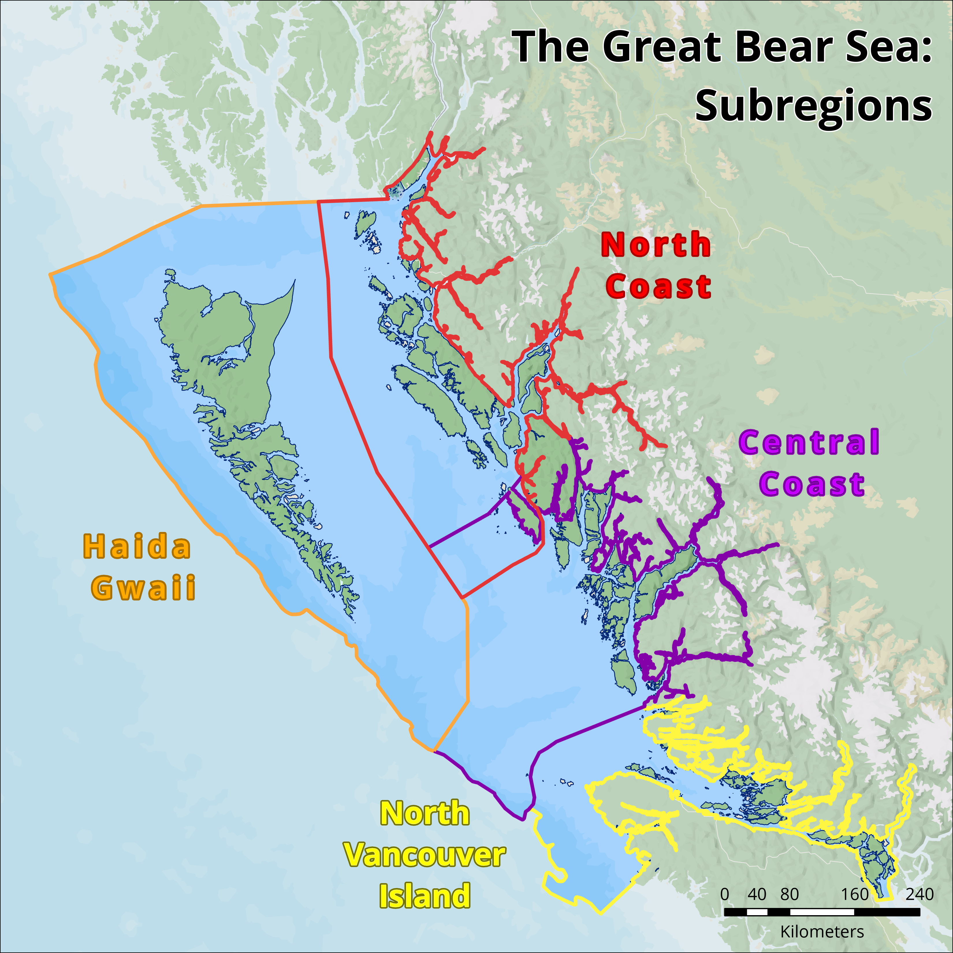
The Great Bear Sea region consists of four subregions: Central Coast, North Coast, North Vancouver Island, and Haida Gwaii.
Haida Gwaii is renowned for rich wildlife, old-growth forests and deeply rooted culture. The translation X̱aaydag̱a Gwaay.yaay (People of the Land or Haida’s land) hints at the Haida people’s deep connection with the land and sea. The Haida Gwaii archipelago comprises approximately 150 islands that extend about 250 kilometres north to south.
NORTH COAST
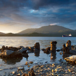
CENTRAL COAST
The Central Coast centres around Queen Charlotte Sound. The region contains hundreds of islands, rocky headlands that jut into the ocean, and a complex system of steep fjords.
NORTH VANCOUVER ISLAND
The North Vancouver Island region lies between northern Vancouver Island and the BC mainland, as well as the waters just north of Vancouver Island. It is a rugged area of many islands, inlets and fjords that are home to thriving communities and steep windswept cliffs that see few visitors.
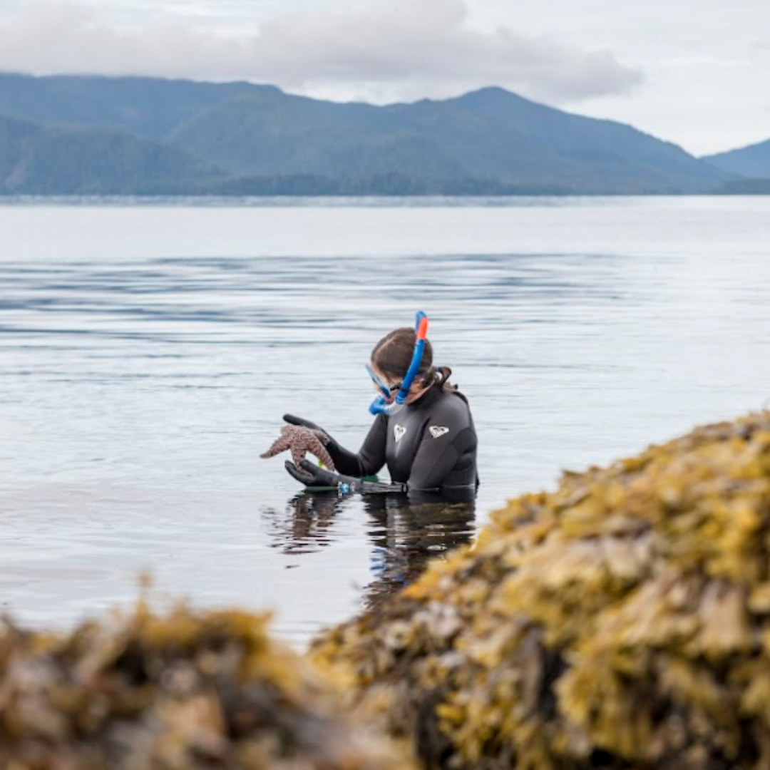
These waters are one of Canada’s unique natural treasures and one of the most biologically diverse cold water seas on earth. The region is also rich in culture, with diverse marine life and areas holding great significance to the people that live here.
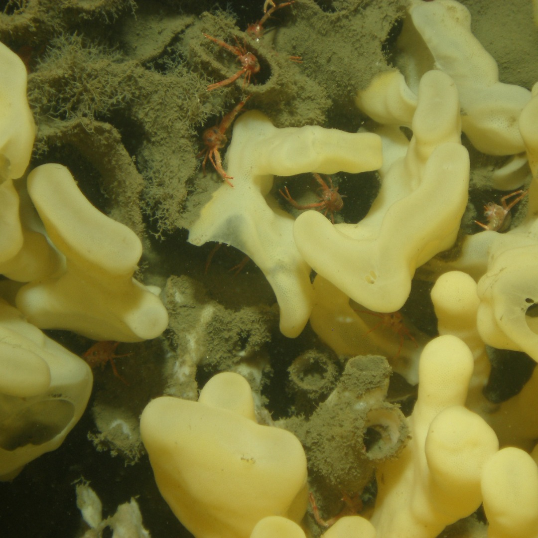
The Central Coast of BC is home to some of the world’s last remaining glass sponge reefs, previously thought to be globally extinct.
A global ecological treasure that covers 6.4 million hectares on the north and central coast of BC – about the size of Ireland. Representing one quarter of the world’s remaining coastal temperate rainforests, it is a rare ecosystem found in only 11 regions of the world.
Led by First Nations with government, environmental and industry sectors, 85% of the rainforest has been formally protected since 2016 through the Great Bear Rainforest Agreement.
The village of SG̱ang Gwaay Llnagaay in Gwaii Haanas, on the archipelago of Haida Gwaii, is a UNESCO World Heritage Site owing to its globally significant cultural heritage. Here the remains of cedar longhouses and carved poles illustrate the art and way of life of the Haida, showcasing their living culture and deep relationship with the land and sea.
This area of the ocean contains critically important whale habitat, from Telegraph Cove on Vancouver Island to Kitimat fjord in the North Coast. These areas and many more in the region support whale populations still recovering from the effects of whaling.
Watch: Orca Whale Sounds.
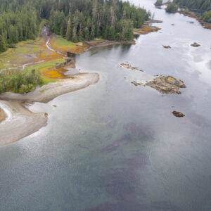
Clam gardens, such as those on Quadra Island, are ancient intertidal features created and maintained by coastal First Nations to enhance shellfish productivity. These features are made by constructing rock walls at the low tide line along the edges of bays and inlets, transforming naturally sloping beaches or rocky shorelines into productive, level beach terraces for clams to grow. Clam gardening is still practiced today and supports thriving aquaculture on the coast.
These waters contain many areas that are critical to the survival of birds, especially migratory seabirds. Triangle Island supports British Columbia’s largest seabird colony, hosting species like auklets, puffins, guillemots, gulls, cormorants and murres. The Scott Islands Marine National Wildlife Area protects the valuable feeding grounds for these birds.
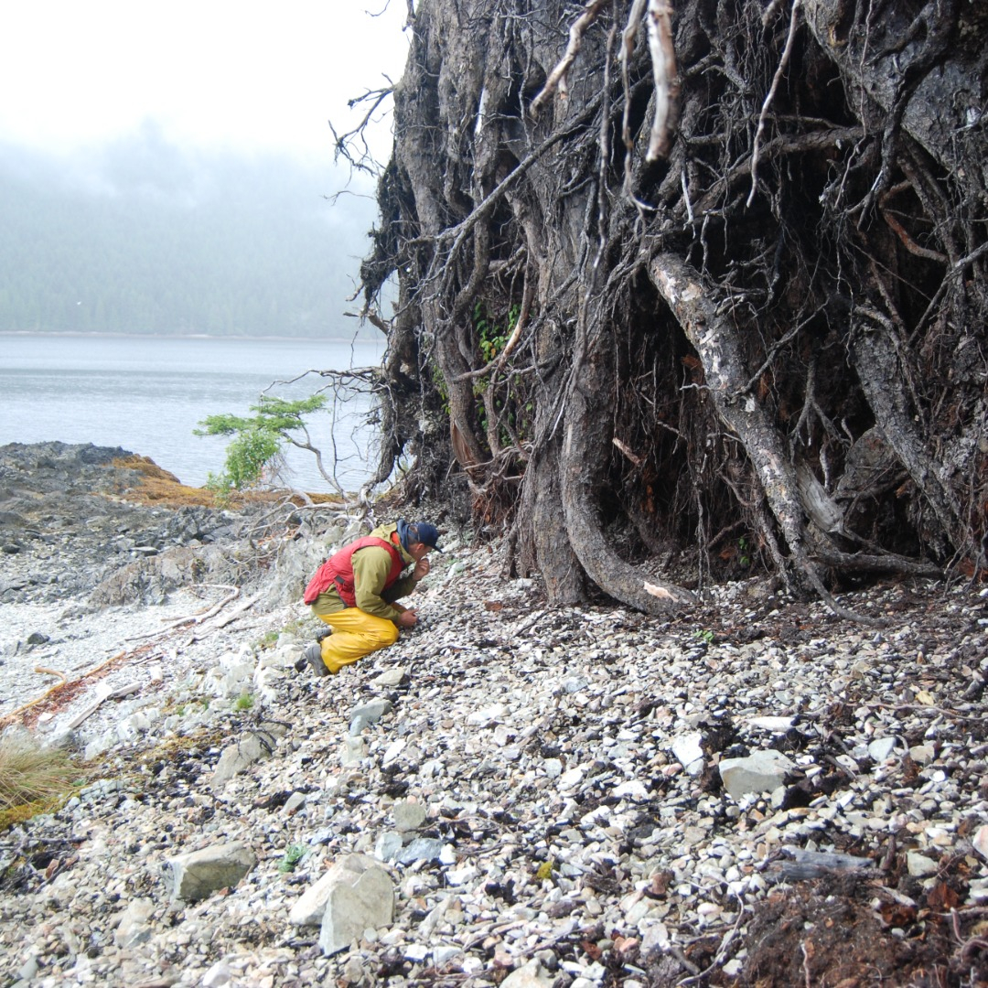
Archaeological sites across the region have uncovered cultural footprints of First Nations. These include shell middens, clam gardens, fish traps, fire cracked rocks, and culturally modified trees, among others. These sites date from recent times to 14,000+ years ago, and studies are ongoing to uncover new information.
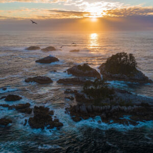
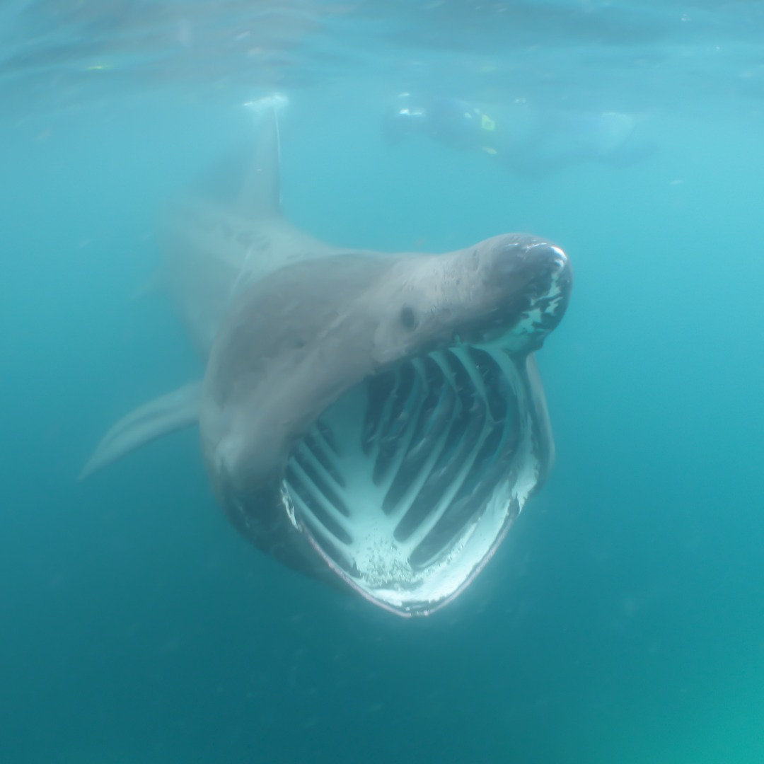
The seafloor on the west coast of Haida Gwaii drops abruptly to abyssal depths more than 2 km deep. A process called “upwelling” causes nutrient-rich waters from the depths to rise to the surface, nourishing plankton, the basis of the marine food web. The enriched nearshore waters attract many species that are normally found offshore in open waters. Examples include seabirds like puffins and albatrosses, fishes like ocean sunfish and salmon shark, and even the occasional Basking Shark— the second largest fish on the planet.
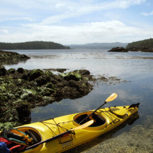
We rely on a healthy ocean to bolster healthy communities. With a strong and thriving ocean, we can enjoy activities like fishing, boating, kayaking, and whale watching.